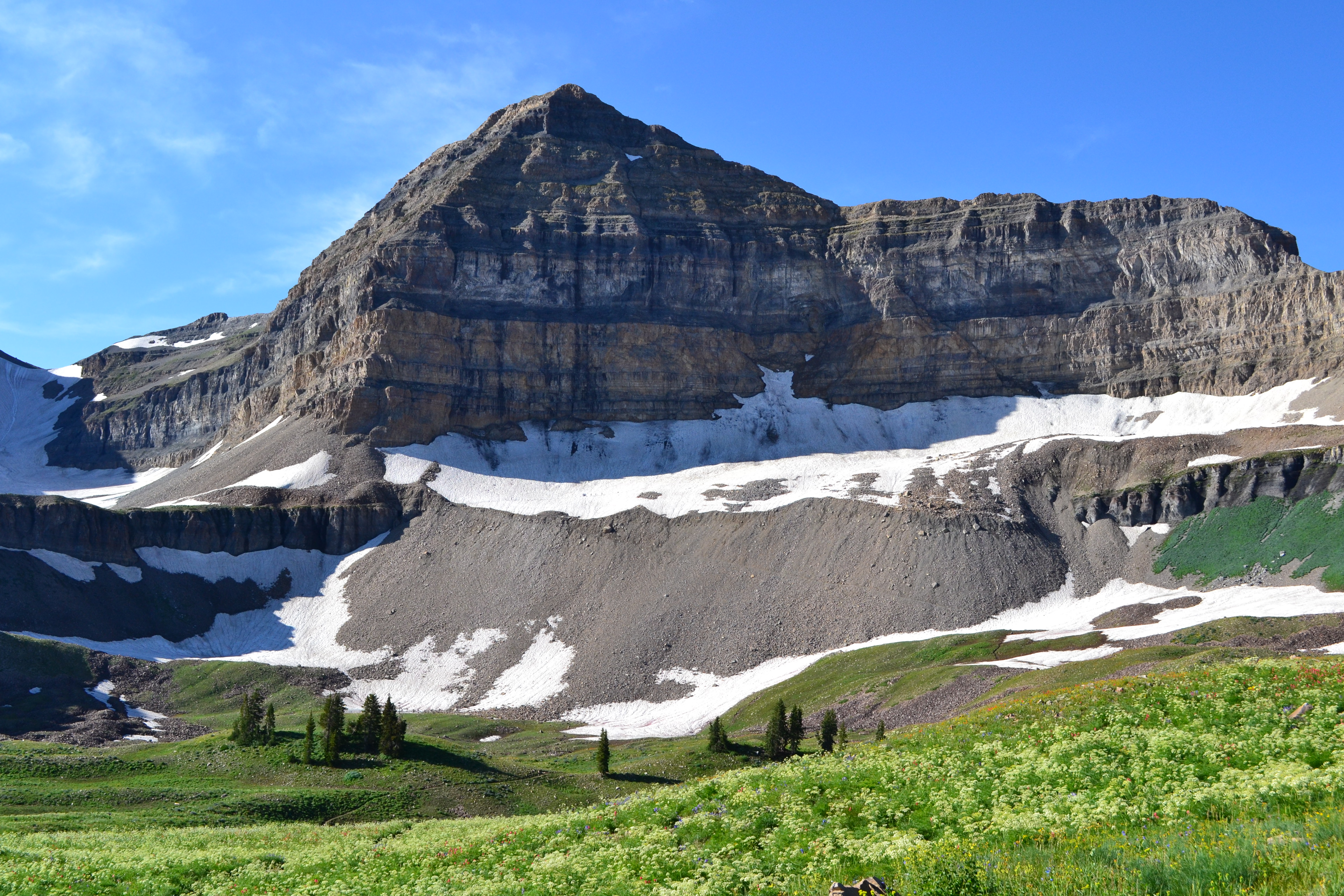
Menu Close

Tahoe Rim 100

OLYMPUS DIGITAL CAMERAAfter being away for five years, I returned to run the spectacular course of Tahoe Rim 100.  I’ve finished this race five times, earning my 500-mile belt and was drawn back to again experience it for the sixth time.  Much of the race runs on the amazing Tahoe Rim Trail above the northeast end of the beautiful lake. In years past when I ran it the field was small, but now it has grown up to include about 230 starters.   I classify the course as an easier mountain 100.  It does run at higher altitude, between 7,000-9,000 feet.  All but two of the climbs are very runnable.  The course climbs about 17,000 feet along the way and consists of two 50-mile loops.

I’ve had pretty good races here in the past, usually finishing around 26 hours in the top 20.  But with advanced age and difficulty with altitude races recently, my expectations were low and I really just wanted to enjoy the course again and finish.

The Sextuple Mount Timpanogos

Mount_Timpanogos

For more than 100 years, Mount Timpanogos (11,749 feet) has been the most popular hiking destination in Utah. Timp towers over the valley floors below by more than 7,000 feet – an impressive sight that draws hikers of all ages to its trails. A single round trip to the summit on the trail covers about 14 miles and climbs about 4,500 feet. (Compare this to about 4,460 feet elevation of climbing down into the Grand Canyon from the South Rim (Bright Angel trail) and back with about the same mileage, you just do the down section first).

When I meet people locally for the first time and they recognize my name, most of the time they ask if I am the guy who ran up and down Timp five consecutive times. I sheepishly admit that I am that person. Ten years ago I accomplished that feat. I am still the only person to accomplish a Quint Timpanogos. Three times since then, I went up with the hopes to do six, but each time I only did two or three and came home vowing that I would never try again to break it. I would tell myself that it is just too stupid and hard. Others have had their eye on this record. In 2013, Jennilyn Eaton attempted to break it, but was turned away by bad weather before her third summit. I’ve wondered if this record would ever be broken.  I was ready to try again.

Southern Oquirrh Mountains Traverse

Flat Top mountain and the Oquirrh mountains

The Oquirrh Mountains is a mountain range that runs north-south for 30 miles on the west side of Salt Lake Valley and Utah County. The mountains have been mined in gold, silver, lead and copper including one of the largest open pit copper mines, Bingham Canyon (Kenicott) mine. In 2015 I traversed the southern portion of this mountain range and had a great adventure. I decided to repeat it this year. (The Northern section includes no trespassing private property sections and is barren of snow this time of year.)

Timing for this adventure is critical because water needs. I had no desire to haul large quantities of water along the way and there are no convenient access points along the way to drop off supplies. The solution is to use snow fields, but the fields shouldn’t be deep enough to obscure the trails along the way. Thus the right time to try this would be around the first day of summer when all the snow hasn’t quite melted off. On the north side of each peak snow fields could still be found.

Bryce 100

logo

Bryce 100 is held near the famed national park, on the next major ridge line to the west. The course is pretty spectacular with views of many pink hoodoos similar to those seen in the park.  It runs above and below what are called the Sunset Cliffs that face to the west.  I ran the race in 2013 and struggled with the altitude.  Much of the course runs above 9,000 feet.  Weather is always an issue: too hot, too cold, or rain.  I knew this would be the most difficult 100-miler that I would run so far this year, but decided at the last minute to give it a try.

The two major factors that make this race difficult are:  the altitude and the long distances between aid stations.  To finish up the 100, the aid stations distances are: 9.4, 7.7, and 9.3 miles.  When you are moving slowly toward the end and if the weather is hot, this can make things very difficult and for some runners, quite dangerous.  You have to carefully prepare for the worst cases and hope to do well.  Even with my previous experience with the course, I still wasn’t prepared enough.

Pahvant Mountains Traverse

range

For years as I would drive to and from Captitol Reef National Park to run, I would gaze up at a particular mountain range after passing the small town of Scipio, Utah.  This range presents a peculiar flat horizon on top and I would wonder and dream of running along the top of that mountain range end to end, from Scipio to Richfield.  Only recently did I learn that the name of this range is the Pahvant Mountains, named after the Pahvant tribe, a branch of the Ute Indians. The Pahvant Range merges into the Tushar Mountains on the south.

The Pahvants are rarely visited, mostly by hunters, ATV riders, and horseback riders.  A section of The Pauite ATV trail runs along the southern portion of the range, connecting with the Tushar Mountains.  The range is about 44 miles long and 10 miles across. There are a number of peaks along the range over 10,000 feet high.

Fueling on the Run

fuel

Proper fueling while running an ultra is somewhat of a religious topic. There are many things that work and nothing truly is sacred, to be successful. Some ultrarunners are vegans, and most eat meat. Some believe drinking soda is harmful, and most drink it freely during races. Some think you should drink constantly, others when you feel thirsty. Some think beer is heavenly liquid, others consider it to be unhealthy and dangerous. If you get a chance, volunteer at an aid station during a 100-miler and watch what people eat and drink from the aid station or from their drop bags. Fueling strategy can be all over the map. Figure out what works for you.
To be successful in ultrarunning you must keep in careful balance:

1. Calories
2. Fluids
3. Electrolytes

Read the rest here

Pigtails Challenge 100


logo

I returned to the Seattle area to run a lesser-known ultra, mostly run by locals, called Pigtails Challenge. There were five distances, 50K, 100K, 100 miles, 150 miles, and 200 miles. I ran this race in 2014 and finished the 150-mile race. This year I entered the 100-miler.

The Pigtails Challenge is held at the Lake Youngs watershed near Renton, Washington, which is only about 15 miles from where I grew up and went to high school. The 9.4-mile loop trail runs around the perimeter of a very protected reservoir that supplies drinking water for Seattle. Along the trail, there is only one place where you can get a glimpse of the lake. The course is very easy to follow because you simply run on the outside of the high fence that guards the property. It always reminds me of the movie, “The Village” where a society lives secretly in the woods behind high walls.

Shoes and Foot Care

footWhen I started to run, I had no understanding about shoes or foot care. Somehow I had a strange belief that expensive running shoes was a scam and it really didn’t matter what you ran in as long as they fit well. I would just go to a big box store and choose a pair of cheap shoes off the shelf that seemed to fit well. My struggles were many, as I tried to go longer distances. My feet would get very sore and blisters were frequent. I became very discouraged.

Once I discovered the existence of ultrarunning in 2004, I subscribed to an email listserv named, ultralist (still in existence in 2016). This was the primary gathering place back then on the Internet for ultrarunning discussions. After my first year of ultrarunning, in 2005 I posted a long summary of my running activities and one veteran posted in reply: “After reading your race reports about your first ultra year, I’m amazed that you survived. It seems that you made many poor decisions during the year but still managed to grow and achieve success. You seem to be very determined and quite persistent, but be careful out there. Learning from your mistakes will help you eliminate a lot of the unnecessary pain you’ve been experiencing.” His comments were very true. I was gaining a lot of good experience through failures. I did read carefully the ultralist and learned a ton of knowledge from the experienced runners who shared their experiences and race report.

Read the rest here

Run around the Simpson Mountains

horses

The Simpson Mountains are a mountain range in the remote west desert of Utah that rise nearly 4,000 feet above the desert floor.  They are about 13 miles long and ten miles across. These distinctive mountains have been viewed by travelers on the Pony Express and Overland trails since the 1860s. Native American Goshutes inhabited their canyons for centuries.  They have a long history and some of it is disturbing.

Captain Simpson
Captain James H. Simpson

The mountains are named for explorer Captain James H Simpson, topographical engineer, who was stationed at the army camp, Camp Floyd, in today’s Fairfield, Utah.  In 1858 he explored around the mountain range, and in 1859 returned in his work to lay out an overland mail route between Salt Lake City and California. For years I have wanted to explore these mountains more closely and I finally mapped out a course to run completely around them.

On Friday evening, I arrived at the northeast corner of my circuitous route, establishing my starting location at a corral above dry Government Creek. The corral was at a location once called Government Spring and had been visited by Simpson in 1858.

Porter Rockwell
Porter Rockwell

This place was also once the cattle ranch of Orrin Porter Rockwell, famed mountain man, lawman, and pioneer. He had chosen this open location in the 1850s  for a ranch because as he said, “For a cattle ranch you want a place where you can track’em out.”

The Frequent Long Run

long

What is a long run?  Obviously the answer varies for each runner.  As a boy, I remember my first “long” hike in boy scouts, a five-mile walk from close to my home, to Salt Water State Park on the Puget Sound in Washington.  It seemed like it took all day and was so very far. To me back then, a one-mile run was long. As a teen, as I began to do some regular one-mile runs, three miles seemed long. As I again tried to run regularly in college, a very long run became eight miles.

As I discovered ultrarunning, a long run in my mind was ten miles. A 50K run (31 miles) seemed to be a very long event that took careful planning to do. In 2005 I would look at the race calendar and started to think about traveling to participate in 50K runs which to me back then, was still a mega-distance. But as I gained a longer mileage base, and with more experience, that 50K distance seemed to grow shorter and no longer seemed to be a massive run.  50K eventually turned into my definition of “the long run.”

Read the rest here

Night Running

afraidAs of 2016, I estimate that I have run at least 15,000 miles during the night or early morning before the sun had risen. Once I started to learn how to run, I quickly discovered the unique experience of running safely during the night on trails.

My first experience was in 2002 on Mount Timpanogos.  My first trip up, that started about an hour before the sun rose.  It seemed like a strange experience going up in the dark but there were so many other hikers doing the same thing so I didn’t feel uncomfortable. I did miss a switchback and made a usual rookie mistake of trying to climb a steep slope near a Scout Falls, but I got myself back on track, feeling quite foolish.  Two weeks later I was more daring and went up again, an hour earlier and went much faster. I began to enjoy the challenge of chasing hiker lights ahead of me and it became a favorite game to push hard up the mountain racing after those ahead.

Read the rest here

Running the Sanpitch mountain range top end-to-end

range

The Sanpitch Mountain Range is just south of the Wasatch Mountains.  Perhaps you have looked over to these mountains as your drive south on I-15 between Nephi and Scipio.  I’ve looked up there wondering if you could run along the top of them. The Sanpitch Range is about 40 miles long and its highest point is Salt Creek Peak (9,997 feet).  The range was named after an Indian leader, who was the leader of the Sanpits that resided in Sanpete Valley during the mid-1800s.

After an adventure exploring the Sanpitch three weeks earlier, I became determined to attempt to run the mountain range end to end, a run of more than 50 miles.  There wasn’t much information online about the mountain range top, which is mostly just visited by hunters and ATVers. I planned out my route using topographic maps and hoped that the trails and roads still existed.